Clean Shore Project
Clean Shore Project
How neural networks help plan coastal cleanups
Together with scientists from the Far Eastern Federal University and students from the School of Data Analysis, we created and trained a neural network that determines the volume, mass, and types of garbage. It helps environmental control services and volunteers simplify waste collection on coastal areas.
Why is coastal waste a threat to the ecosystem?
The world produces roughly 400 M tons of plastic annually, of which only 12% is burned and 9% is recycled. The rest ends up in landfills, where it makes it into groundwater and reservoirs. Much of the plastic remains in the oceans and is partially carried away by currents to the coasts.
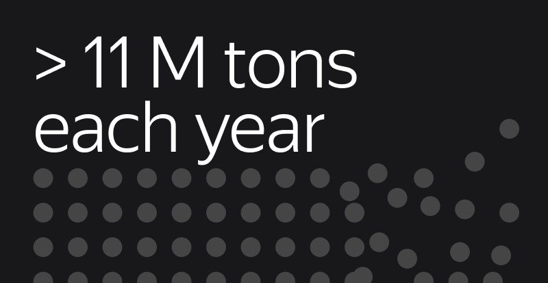
More than 11 million tons of plastic annually end up in the world’s oceans. If no action is taken, the amount of plastic waste could increase to 29 million tons by the year 2040.
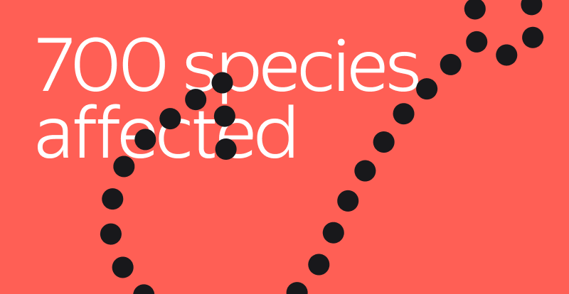
Marine waste threatens the life and health of wildlife. Plastic enters their bodies via their food and water, with no way of eliminating it.
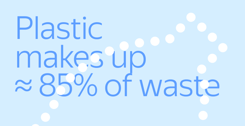
Plastic makes up a large proportion of all marine waste, mainly food packaging and fishing nets. This is what volunteers find most often during coastal cleanups.
The goal of the Clean Shore Project
Coastal cleanups help to reduce pollution and environmental risks, but garbage often accumulates in hard-to-reach places where it is difficult to detect. We developed a neural network that helps identify where garbage accumulates in coastal areas and determine its types, making it possible to:

How does the solution work?
The neural network analyzes aerial images of the coast taken by a quadcopter, locates pollution, and classifies objects into six main types: fishing nets, metal, rubber, large plastic, concrete, and wood.
It also marks the locations of these objects on the map, analyzes their composition, and estimates their weight.
The Yandex DataLens service is used to monitor how waste accumulates and moves.
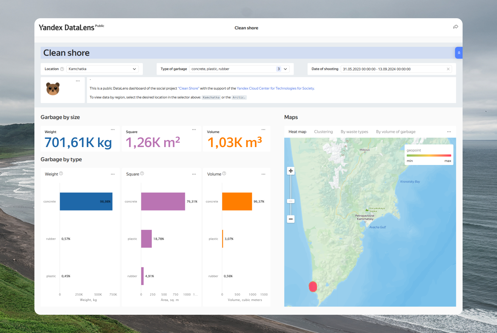
Project launch in the Kronotsky Nature Reserve
In previous years, waste in the Kronotsky Nature Reserve and the Southern Kamchatsky Nature Reserve was periodically collected and removed, and its origin was studied. For this purpose, trial areas, e.g., 100-meter stretches of beach, were selected, and the dynamics of garbage accumulation was assessed annually.
In 2024, the neural network was used during the cleanup to help identify the main sources of pollution. It revealed that hard-to-reach coastal areas were littered with plastic containers and packaging (33–39%), as well as industrial fishing waste (27–29%). These data allowed the reserve staff to organize cleaning more efficiently, e.g., by pre-ordering special equipment for gathering fishing nets.
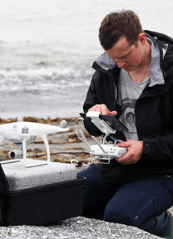
A reserve employee prepares to film the coast
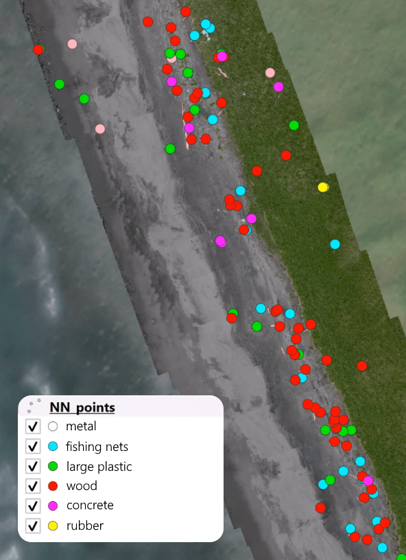
The neural network classifies objects
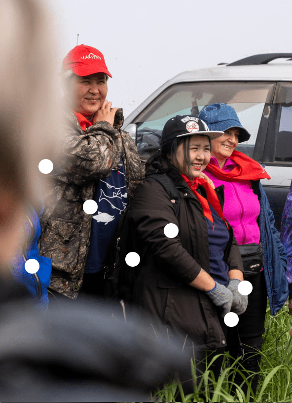
Volunteers plan their cleanup work
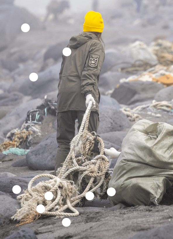
A team of volunteers at work
Creating the solution in stages

Gathering more than 6000 photographs
In 2024, they used a quadrocopter to take photographs of the coast of the Kronotsky Nature Reserve.

Marking up the dataset
Using a neural network developed by students of the Yandex School of Data Analysis, the reserve staff marked up the images.

Training the neural network to find and recognize waste
To do so, they uploaded the data set to the Yandex DataSphere service.

Using real and synthetic data for testing
This helped to better evaluate the quality of the models. Various neural network-based methods were used for generation.

They released the solution in open source
The development code has been published in open source. The solution can now be used worldwide to monitor different types of waste.
Project results

Roman Korchigin
Deputy director of ecotourism for the Kronotsky Nature Reserve
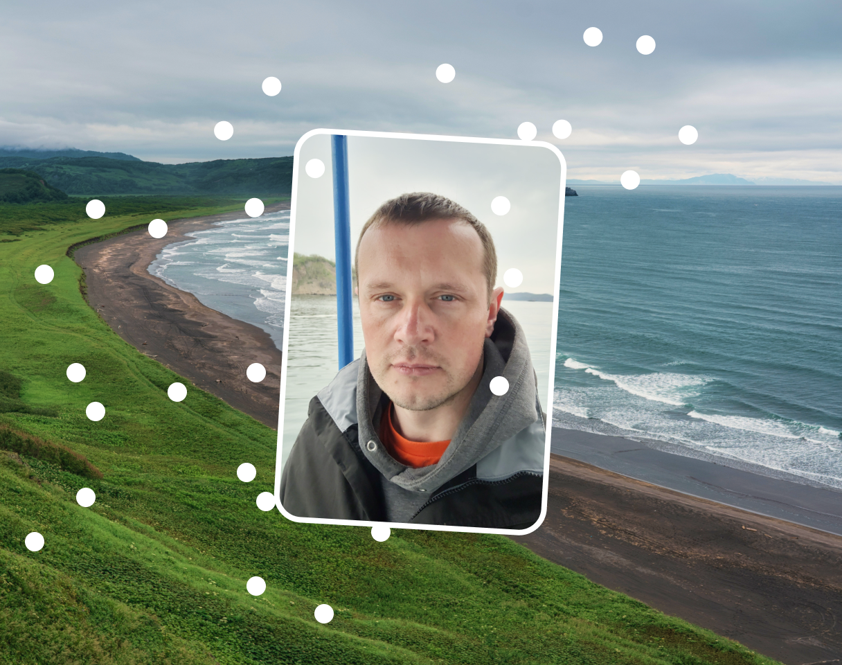
“Every summer, volunteers and scientists gather in the Kronotsky and South Kamchatka Nature Reserve to remove plastic debris from the shore. For many years we have been observing how waves bring hundreds of tons of waste here from all over the world. The Yandex Cloud Center for Technologies and Society’s solution helps locate trash with greater speed, accuracy, and efficiency. It allows us can plan cleanups to maximize the area covered.
We invite you to join our cleaning expeditions as volunteers, develop the solution with us, and propose new territories to further scale the project.”
Plans to further develop the project
Scaling the solution
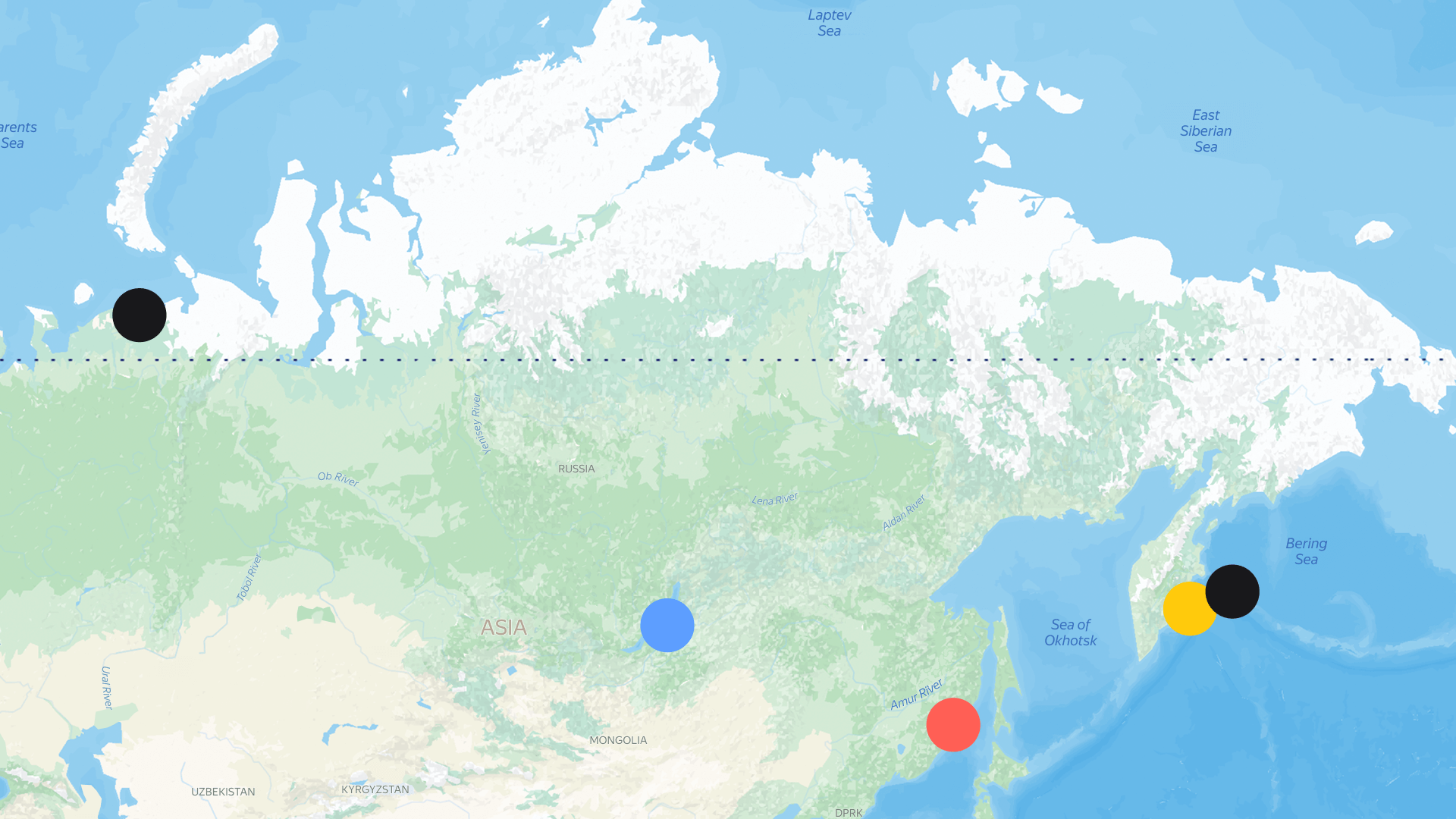
In the Arctic
Since 2019, scientists from the Far East Federal University have been monitoring the accumulation of microplastics in the Arctic, studying its makeup to identify the sources of contamination.
We uploaded the data gathered to the Yandex DataLens service and created a dashboard.
Now, based on the results obtained, an expedition to clean up the coast in the Nenetsky Nature Reserve is planned for the summer of 2025.
In other regions
Other areas like the Commander Islands and Land of the Leopard national parks, and the Sikhote-Alin Nature Reserve are ready to use the solution to plan coastal cleanups.
Improving the neural network
For the neural network to identify more types of waste and recognize with greater accuracy, we plan to use data from the shores of Lake Baikal, the Baltic, and Arctic for further training.
Adding satellite image processing
To simplify the recognition of bulky debris among other types of coastal objects.
Evgeny Khokhlunov
Head of Eco Projects in Yandex Cloud
Nature around us knows how to regulate itself, while at the same time remaining so fragile and still holding so many secrets and discoveries! Come join us to explore them together — faster, more efficiently, at a completely new technological level. If you want to use our solution or share your ideas, please fill out the application.


